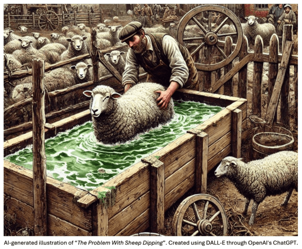
From 1849 to 1993, sheep dipping was a compulsory agricultural practice in New Zealand to control external parasites. Due to the oily nature of sheep fleece, farmers resorted to using harsh pesticides that could not naturally break down, leaving a lasting environmental footprint. Chemicals such as Arsenic and Lindane are still present at many dip sites, often exceeding human health and environmental safety standards.
There is an estimated 50,000 sheep dip sites across NZ, yet only a fraction of these have been mapped. Much of the knowledge about these sites is passed down anecdotally and is gradually disappearing. This loss of information poses a significant risk, especially as land use changes over time.
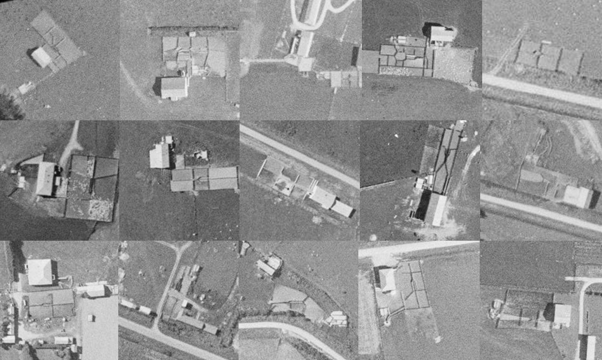
In this project, we worked with e3scientific and Environment Southland on identifying historical dip sites using aerial imagery within the Southland region—where only 32 dip sites are currently registered.


One of the key challenges of this project was the limited information available to develop an effective detection model. The high cost of identifying and validating enough new sites for building a robust machine learning dataset was also prohibitive. Additionally, the quality and resolution of the historic aerial imagery varied significantly, making site recognition a difficult task—even for human experts.
To address these limitations, we needed to apply some novel techniques and leverage newer Vision Transformer foundation models as well as multi-model Large Language Models (LLMs).
Our approach began with using embeddings from Vision Transformer foundation models to segment aerial imagery and identify key features common to sheep dip sites. Candidate site images were then processed through a multi-modal Large Language Model (LLM) using carefully crafted prompts. By prefiltering locations based on similarity matching in a semantically rich feature space, and guiding the LLM through multiple stages of analysis, we efficiently identified probable sheep dip sites with minimal reference data, all without the need for fine-tuning.

This project has enabled development and initial validation of a cost-effective, low-data methodology leveraging pre-trained foundation and generative AI models to locate historic sheep dip locations. We are confident the methodology can be repurposed to identifying other features of interest in imagery, wherever there are data set size limitation and cost constraints preventing a conventional approach of training a new model from scratch.
Our initial screening (covering ~7% of Southland) has identified over 300 potential sheep dipping sites. Future work will involve validating these locations through further analysis, fieldwork and soil sampling.
Ready to take your AI project to the next level? Get in touch with our team to get expert feedback and project estimates.